
Land Topographical Surveys in Leith
Precise Topographical Land Surveys
Get a Free Quote From Us Today!
We aim to get back to you in 24 hours.
At Land Topographical Surveys, we offer comprehensive land topographical surveys in Leith to facilitate precise mapping of your site. Our services ensure that every detail of the terrain is accurately charted, providing essential data for development, planning, or construction projects.
We cover Leith and the surrounding EH6 7 postcode area. Contact us to learn more about how our surveys can assist with your project.
What Is a Land Topographical Survey?
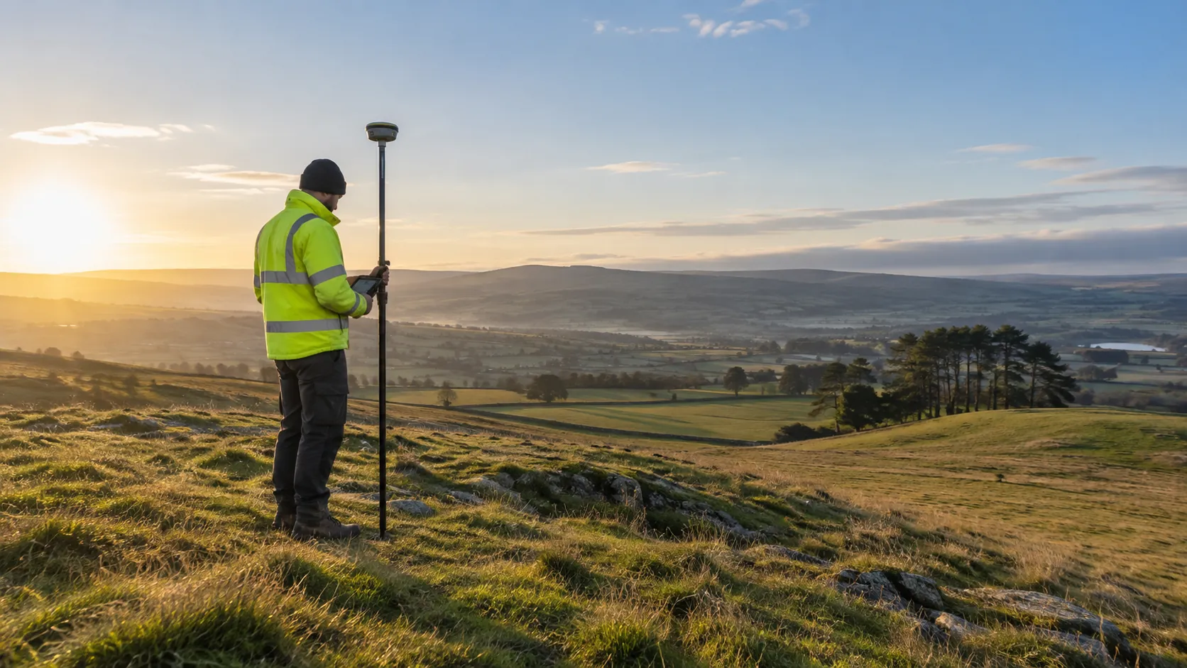
A land topographical survey is a detailed measurement of the natural and artificial features on a land surface in Leith. At Land Topographical Surveys, we use advanced surveying equipment like total stations and GNSS (Global Navigation Satellite System) receivers to capture the contours, trees, structures, and utility routes on your site.
Our surveys adhere to industry standards such as BS 5930, ensuring precision in data collection and mapping.
This information is crucial for engineers, architects, and planners in creating accurate site plans and managing potential development impacts. We provide detailed topographical maps, including spot heights and digital terrain models, which are indispensable for infrastructure design and landscape architecture.
A typical survey might take one to two weeks, depending on the complexity and size of the area.
By offering precise data, our surveys help minimise project risks and unforeseen costs related to construction and land development. Contact us today to discuss how our surveys can support your next project.
How Much Does a Land Topographical Survey Cost in Leith?
A land topographical survey costs typically between £500 and £1,500 in Leith. The exact price depends on the size and complexity of the site, the features to be mapped, and any specific requirements for precision.
We consider factors such as terrain type, vegetation density, and access difficulty, which can impact both time and resources needed for a thorough survey.
Our surveys use total stations, GPS equipment, and drone technology to ensure precise and detailed mappings of land features. We follow the RICS guidelines, which guarantee that our surveys meet industry standards.
Most surveys can be completed within one to two weeks, depending on the site’s complexity and weather conditions.
Our team at Land Topographical Surveys offers competitive pricing, ensuring clear and reliable data for your project needs. Reach out to discuss your specific requirements, and we’ll provide a detailed quote tailored to your site.
Get a Free No Obligation Quotation Today
Why Choose the company Land Topographical Surveys for Land Topographical Surveys in Leith?
Choosing Land Topographical Surveys in Leith means opting for accuracy, experience, and reliability. We employ state-of-the-art equipment such as theodolites and GPS units to ensure high precision in our surveys.
For detailed and nuanced data collection, we also use laser scanning and total stations, allowing us to produce detailed contour maps and identify even the slightest variations in your land’s topography. Our experienced surveyors adhere to industry standards such as ISO 9001, ensuring that every project is carried out systematically and accurately.
We cater to a diverse range of clients, including architects, engineers, property developers and local councils, providing custom survey packages to meet unique project requirements. Our surveys typically take between two to three weeks from initiation to completion, covering all necessary detailed measurements and assessments.
Backed by comprehensive support, we are eager to discuss how we can assist with your next project. Get in touch to request more information about our survey services.
What Are the Benefits of a Land Topographical Survey in Leith?
Land topographical surveys offer significant benefits in Leith by providing precise measurements and mapping of a terrain’s features, including elevations, contours, and existing structures.
- Accurate data collection for informed planning decisions: Our surveys use advanced total stations and GPS technology to measure the terrain with precision.
- Identification of potential issues early in the project: By assessing factors like slopes, flood zones, and soil conditions, we help prevent surprises.
- Reduction of costly errors and project delays: Early detection of site constraints means fewer revisions to plans.
- Assistance in designing efficient drainage and utility systems: Detailed topographical data ensure proper allocation and routing of drainage systems, electricity, water, and sewage lines.
These benefits are essential for residential, commercial, and infrastructural projects, ensuring compliance with local planning regulations and avoiding costly rework. Contact us today to discuss your project’s needs.
When Is a Land Topographical Survey Needed in Leith?
Land topographical surveys are essential in Leith for any construction, planning, or development project. We conduct detailed studies to map the land’s contours, existing structures, and natural features using advanced tools like theodolites and GPS equipment.
These surveys are crucial for projects such as designing drainage systems to prevent flooding, determining precise boundary lines for legal land disputes, and assessing soil erosion in environmentally sensitive areas.
For architects, engineers, and property developers, understanding variations in elevation through our digital terrain models (DTMs) can significantly influence design decisions and cost evaluations. Our surveys also assist in aligning with planning permissions and environmental regulations, ensuring compliance from the outset.
Whether you’re laying out new roads, developing residential areas, or managing agricultural resources, our surveys provide the necessary foundation. Contact us today to ensure the success of your venture.
Request a free quote
Frequently Asked Questions
How long does a land topographical survey take in Leith?
A typical land topographical survey in Leith takes one to three days, depending on the site size and complexity. Additional days may be required for larger or more detailed surveys.
What equipment do you use for surveys?
We use tools like GPS systems, laser scanners, and drones to improve the accuracy and efficiency of our surveys in Leith. This ensures that you receive data customised to your project needs.
Are there specific regulations we must consider?
In Leith, land topographical surveys need to comply with national standards from the UK Ordnance Survey and other regulatory bodies. Our team ensures compliance with all relevant regulations during our surveys.
Can you survey small plots of land?
Yes, we can. Our team at Land Topographical Surveys handles projects of all sizes in Leith, from small garden plots to extensive development sites, providing precise and reliable results.
How soon can I schedule a survey?
We strive to accommodate our clients promptly. Contact us today to schedule your land topographical survey in Leith, and we will arrange a convenient time to meet your project timeline.
Get a Free Quote for Land Topographical Surveys in Leith
To ensure the success of your project, reach out to us at Land Topographical Surveys for a survey.
speak with our team today
What People are Saying About Us
★★★★★
“Really delighted with Land Topographical Surveys, a warm and professional company I would recommend without hesitation.”
Gareth Duncan
Scotland
★★★★★
“The site plan from Land Topographical Surveys was beautifully presented and so clear our whole team understood it at a glance. Wonderful, and highly recommended!”
Liam Bennett
Scotland
★★★★★
“Our topographical plan from Land Topographical Surveys was ready when they said and covered all we asked for. Really chuffed with it.”
Owen Rahman
Scotland
★★★★★
“We needed a survey our architect could open straight away. The Land Topographical Surveys team labelled every contour, tree and boundary clearly, so the project moved along smoothly.”
Charlotte Hughes
Scotland
Our Locations
Looking for our services in another area in Edinburgh? We are proud to work nationally across the UK, allowing us to ensure we can provide our specialist Land Topographical Surveys services to you.
For a full list of locations we cover in Edinburgh, see below.